- Sorry, this product cannot be purchased.
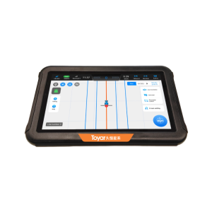
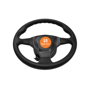
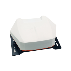
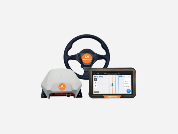
JHXH002 Auto Steering System
Product Details
HIGH ACCURACY
GNSS RTK+ NSSR+LSSR
AUTO STEERING SYSTEM
JHXH002 developed based on advancing GNSS technologies, is a versatile solution for tractor automatic steering. Embracing minimalist design principles and solid manufacturing techniques for durable use,AGMA-Toyar enables access to unique NSSR service exclusively for precision agriculture worldwide. Supported by a professional FAE team, from installation to remote assistance and OTA upgrade,all kinds of back-end services and demands shall be well cared.
NSSR GLOBAL
With an exclusive NSSR-network, AGMA-TOYAR SI provides our customers with satellite-based differential positioning service, which reaches centimeter level within 3 minutes at any point worldwide. Trivial costs needed, continuously reliable access enabled!
LSSR XSTAR
LSSR is a real-time correction service with centimeter-level accuracy. AGMA-TOYAR SI’s XStar service empowers direct connection with signals broadcasted by a satellite constellation, which covers almost the entire regions of the Eurasian and African continents. XStar surpasses the dependency on local CORS stations and cellular network and unlocks new Vpossibilities for vehicles!
ISOBUS
With ISOBUS, there is full compatibility of data transfer between systems and software, which ensures fast and noise-free communication, improving the accuracy of activities and automation of equipment.ISOBUS guarantees an organised installation and a much simpler visualisation. The excess of embedded appliances and unnecessary connection cables are eliminated, leaving asingle display to connect the tractor and its implements, ensuring the performance of operations with maximum efficiency.
TERRAIN COMPENSATION
Terrain compensation calculates the difference between the position of the GPS antenna and the desired actual position of the vehicle’s center point on the ground, regardless of which slope the vehicle is on. The auto-steering kit uses IMU sensors to calculate the vehicle’s actual position to help minimize jumps and overlaps over unrolling terrain, slopes and rugged terrain.
Performance Advantages
- Interface
User-friendly interface make it easy to use
- NSSR GLOBAL
2 cm accuracy within 3 min worldwide
- LSSR-XStar
No need RTK base or Network, 3 cm accuracy
- Quick keypad
Easy to set up,easy to install,rugged and suitable for harsh environments
- Multiple Positioning Modes
Supports CORS、 PPP and single RTK station mode
- High Integration
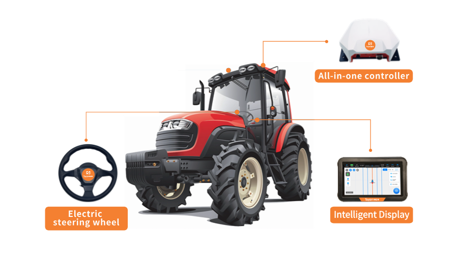
“Three components + one wire” integrated designs
- Excellent Performance
+2.5cm accuracy; dustproof, waterproof, shockproof
- Intelligent Design
Easy to use and support for remote assistance and OTA
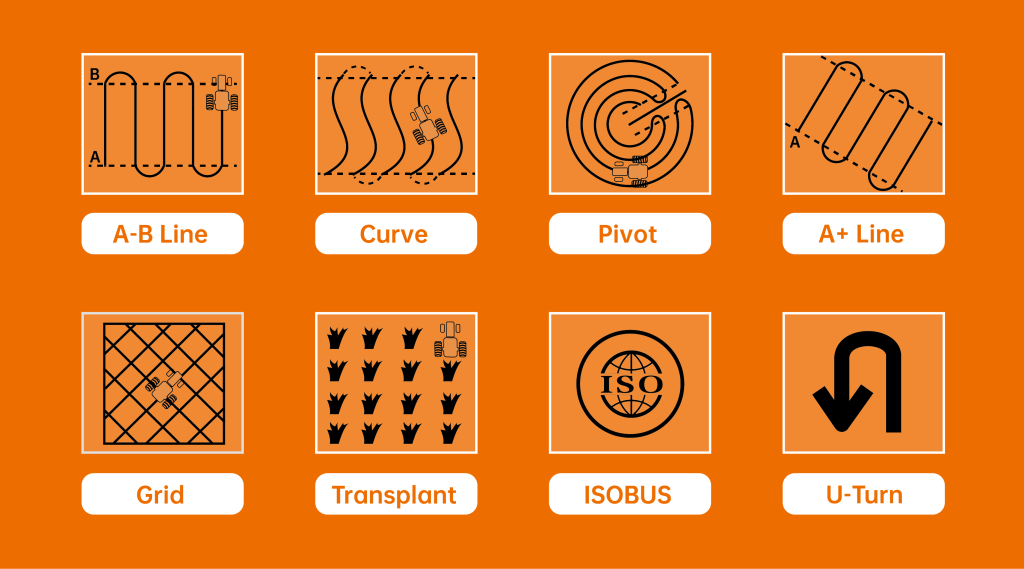
- Multiple Operation Modes
Multiple operation modes and also can be expanded
- Rich Function
The AB line can be reused and work data can be shared
Supporting service : XStar Real-Time GNSS PPP Correction Service
- Full Constellation: Support Beidou, GPS, GLOANASS and Galileo systems
- High precision: Horizontal Accuracy≤5cm,Vertical Accuracy≤5cm
- Fast convergence:Initialization time≤5 min(the fastest<50s)
- Wide coverage: The Asia-Pacific region covered
AREAS OF APPLICATION
- Sowing
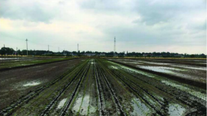
- Ridging
- Ditching
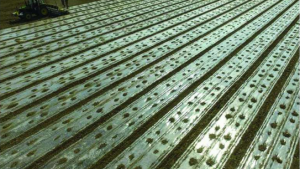
- Laying film
- Rice Planting
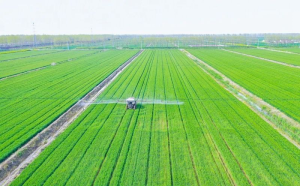
- Spraying
Product parameter
| Electrical Steering Wheel | |
| Torque | 7 N.m |
| Maximum Torque | 16N.m |
| Motor height | 86.5 mm |
| Wheel diameter | 410 mm |
| Display | |
| Display | 10.1″ touch screen, Android 10 |
| Dust and waterproof | IP65 |
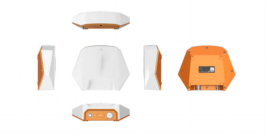
| Integrated ECU | |
| Constellations | GPS/BDS/Galileo/GLONASS/ SBAS/QZSS/L-BAND |
| GNSS Antenna | Built-in |
| Physical | |
| Power | 9V DC to 36 V DC |
| Environment | Operating: -20°C ~ +70°C Storage: -40°C ~ +85°C |
| Performance | |
| Linear autopilot deviation | ≤ ±2.5 cm |
| Straight line spacing deviation | ≤ ±2.5 cm |
| Integrated IMU modules Heading accuracy | < 0.2°rms |
| Roll/Pitch accuracy | < 0.2°rms |
| Operating Speed | 0.1~15km/h |
| Initialization | < 3s (Speed > 1.8km/h) |
| Positioning Mode | PPP-AR, PPP-RTK, RTK |
| RTK accuracy | Horizontal: 8 mm + 0.5 ppm CEP Vertical: 15 mm + 0.5 ppm CEP |
| PPP accuracy | Horizontal: <1.5cm CEP Vertical:<2.5cm CEP |
| Velocity accuracy | 0.05 m/s CEP |
| Convergence time | RTK < 1 min PPP – AR < 15 min PPP – RTK < 3 min |
Relatde Products
- Utilizing a fusion algorithm for integrated navigation, it offers enhanced anti-interference…


